GAN Loci - ACADIA 2019
Imaging Place using Generative Adversarial Networks
Kyle Steinfeld
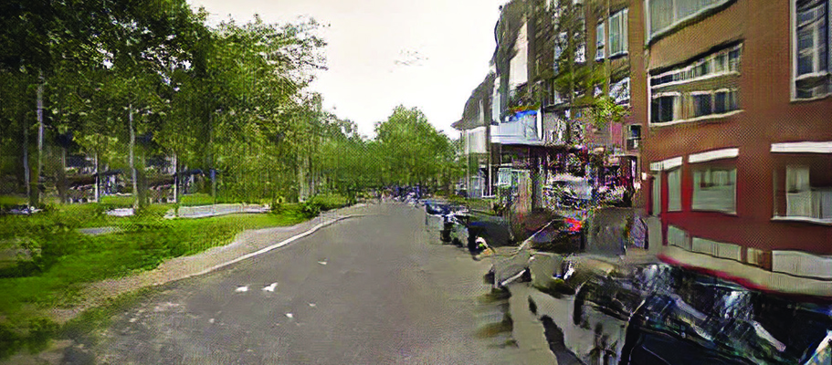
This paper proposes the production of synthetic images of cities using generative adversarial networks (or GANs) represents the first computational approach to documenting the Genius Loci of a city, which is understood to include those forms, textures, colors, and qualities of light that exemplify a particular urban location and that set it apart from similar places. Presented here are methods for the collection of urban image data, for the necessary processing and formatting of this data, and for the training of two known computational statistical models (StyleGAN and Pix2Pix) that identify visual patterns distinct to a given site and that reproduce these patterns to generate new images.

These methods have been applied to image nine distinct urban contexts across six cities in the US and Europe, the results of which are presented here. While the product of this work is not a tool for the design of cities or building forms, but rather a method for the synthetic imaging of existing places, we nevertheless seek to situate the work in terms of computer-assisted design (CAD). In this regard, the project is demonstrative of a new approach to CAD tools. In contrast with existing tools that seek to capture the explicit intention of their user, in applying computational statistical methods to the production of images that speak to the implicit qualities that constitute a place, this project demonstrates the unique advantages offered by such methods in capturing and expressing the tacit.
Read the full paper here or a more concise version in my post on Towards Data Science.